A tropical depression was upgraded into a storm on Tuesday afternoon and is forecast to make landfall in south-central Vietnam on Wednesday evening.
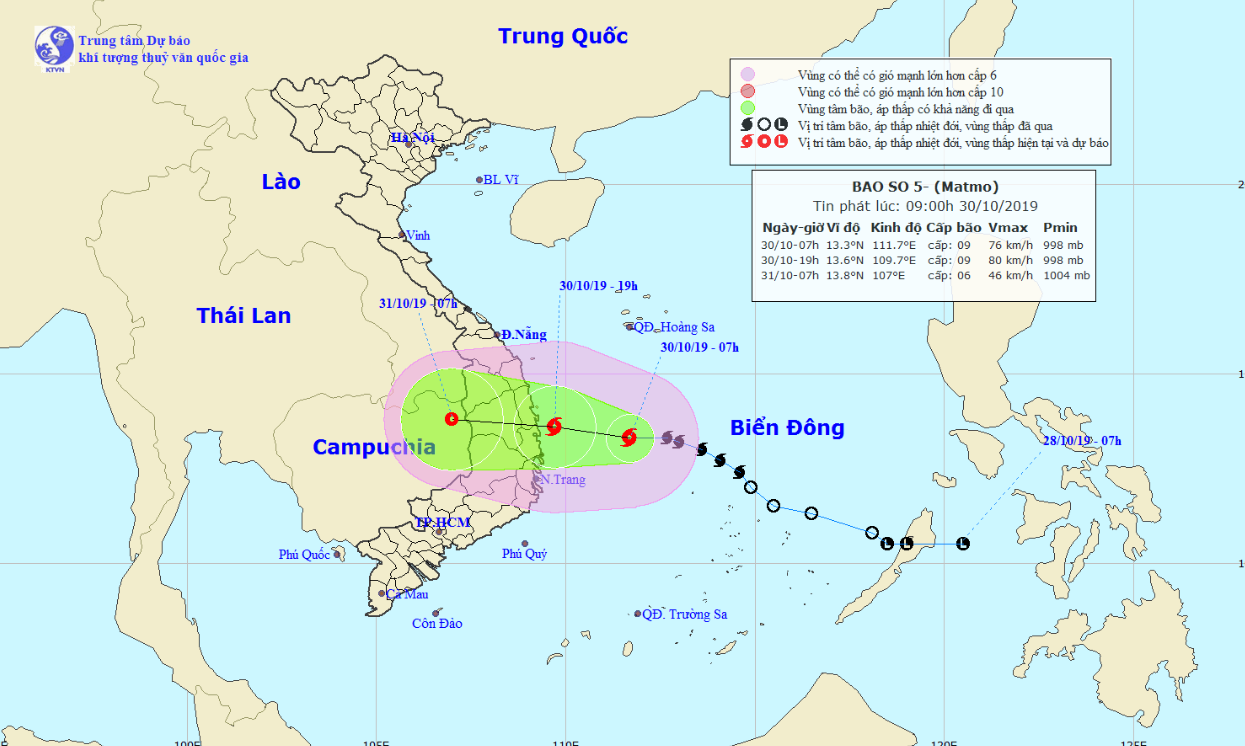
Tropical Storm Matmo, the fifth to hit Vietnam this year, was located about 260 kilometers off Vietnam’s south-central coast between Binh Dinh and Khanh Hoa Provinces as of 7:00 am on Wednesday, according to the National Center for Hydro-meteorological Forecasting.
Average wind speed was at 75-90 kilometers per hour and gusts at up to 115 km/h.
The storm is expected to travel northwest over the next 12 hours and will enter the south-central coast at 7:00 pm on Wednesday.
Storm Matmo is forecast to continue heading west before making landfall in the localities between Quang Ngai and Khanh Hoa Provinces in the next 12-24 hours.
It will likely subdue into a tropical depression on Thursday morning, the forecasting center said.

Under the storm’s influence, rough seas will occur in the northern and central areas of the East Vietnam Sea, as well as along the coast from north-central Quang Tri Province to south-central Ninh Thuan Province.
Strong gusts will also affect multiple localities in the central and south-central regions, as well as the Central Highlands.
Extreme downpours will dampen localities along the central and south-central coast between Thua Thien-Hue and Ninh Thuan Provinces, as well as in the Central Highlands region on Wednesday and Thursday, with average rainfall estimated at 300-400 millimeters.
From Thursday to Saturday, rainfall will slightly drop in intensity but remain high at 200 to 300 millimeters.
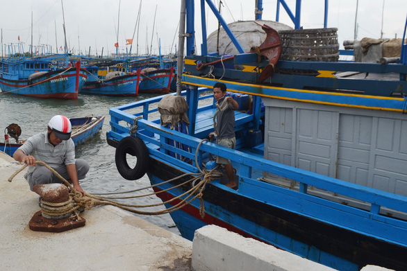
Authorities in the affected areas have prepared necessary measures to cope with the weather phenomenon and ensure safety for local residents.
Like us on Facebook or follow us on Twitter to get the latest news about Vietnam!


