An urban planning map crucial for developing an ambitious new urban area in Ho Chi Minh City and key to resolving land disputes between local residents and the municipal administration has 'gone missing,' officials say.
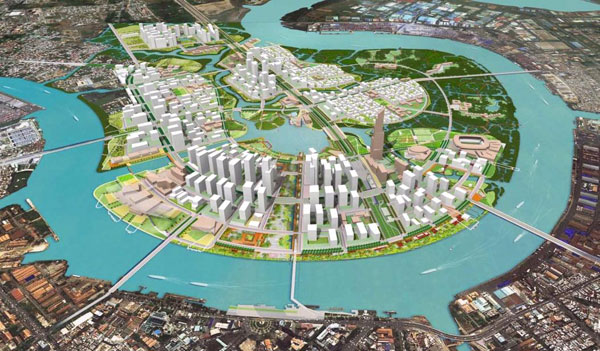
Thu Thiem is a crescent-shaped plot of land located along the Saigon River in District 2, just opposite the current downtown area of Ho Chi Minh City.
Planning to transform it into the Thu Thiem New Urban Area, a future financial, commercial and entertainment hub of Ho Chi Minh City, began as early as 1996, when the then-sitting prime minister approved the first 1:5,000 master plan of the zone.
This original planning map serves a significant role, as it is the legal basis for the issuance of subsequent detailed plans and for the relocation of tens of thousands of residents in Thu Thiem.
Many of the relocated residents have filed lawsuits against the city’s administration for clearing land areas not included in the development plan of Thu Thiem, prompting a search for the original urban design.
To everyone’s surprise, Ho Chi Minh City officials announced at press briefing on Wednesday that the planning map approved in 1996 could not be found in any of the city’s archives.
“It has been over 20 years, and we have not been able to find the original version of the map, though I heard they have found a copied one,” said Vo Van Hoan, chief of secretariat of the People’s Committee of Ho Chi Minh City.
“It is a fundamental legal basis to approve the entire project, so it cannot just disappear.”
 |
| A miniature model of the Thu Thiem New Urban Area in District 2, Ho Chi Minh City |
As the map goes missing, lawsuits filed by 63 families whose homes had been cleared for the development of Thu Thiem New Urban Area against the municipal administration have been stalled in court.
“Without the 1:5,000 map, on what grounds did the city’s administration issue a 1:2,000 detailed plan of the project and proceed with the land clearance and relocation?” the residents asked at a meeting last year with the Government Inspectorate. These residents are now unsatisfied with the simple explanation that the map has just vanished.
In response, a representative from the municipal Department of Planning and Architecture said subsequent planning for Thu Thiem up to this date had been made based on a 1998 map approved by the project’s head architect.
According to the map, the Thu Thiem New Urban Area covers a 618-hectare area in District 2, not including the Saigon River.
In 2005, the project’s area was expanded to 657 hectares, which could explain why residents affected by this expansion claimed their land was not included in the original plan, according to the official.
A team of government inspectors was established in June 2017 to look into residents’ complaints and the land clearance process related to Thu Thiem.
 |
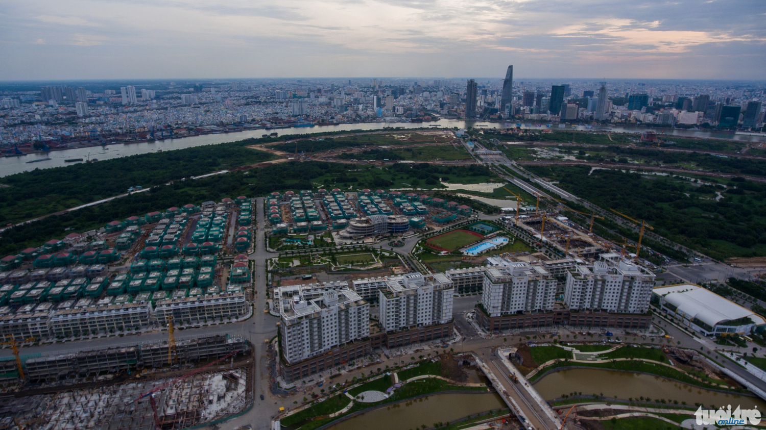
| An aerial view of the under-development Thu Thiem New Urban Area in District 2, Ho Chi Minh City. Photo: Tuoi Tre |
Like us on Facebook or follow us on Twitter to get the latest news about Vietnam!


