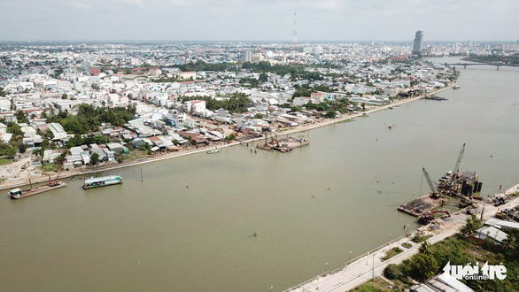
Vietnam’s Can Tho City saw its land subsiding at a rate of 4.37 centimeters per year during the 2005-17 period, the severest in the Mekong Delta region, Pham Anh Huan, head of environmental and water resource management at the Can Tho Department of Resources and Environment, said on Monday.
Can Tho’s sinking momentum was presented at a conference on solutions for sinking and groundwater management in the Mekong Delta on Monday.
On top of that, satellite image analytics also suggested that the city is sinking more than five centimeters per year for the most part.
Dr. Ha Quang Khai from the Ho Chi Minh City University of Technology pointed out that the majority of Mekong Delta provinces are sinking at the average rate of 1.1-3 centimeters per year, making Can Tho’s situation the gravest in the region.
Can Tho’s sinking stems from natural pressure, excessive groundwater mining, as well as physical pressure from unregulated infrastructure development, experts concurred at the conference.
Meanwhile, the link between urban flooding and land sinking requires further research to confirm, Khai denoted.
Nguyen Thuc Hien, deputy chairman of the Can Tho People’s Committee, said the city is working to pinpoint the areas that require restriction of groundwater extraction, which is expected to help curb land sinking.
Like us on Facebook or follow us on Twitter to get the latest news about Vietnam!


