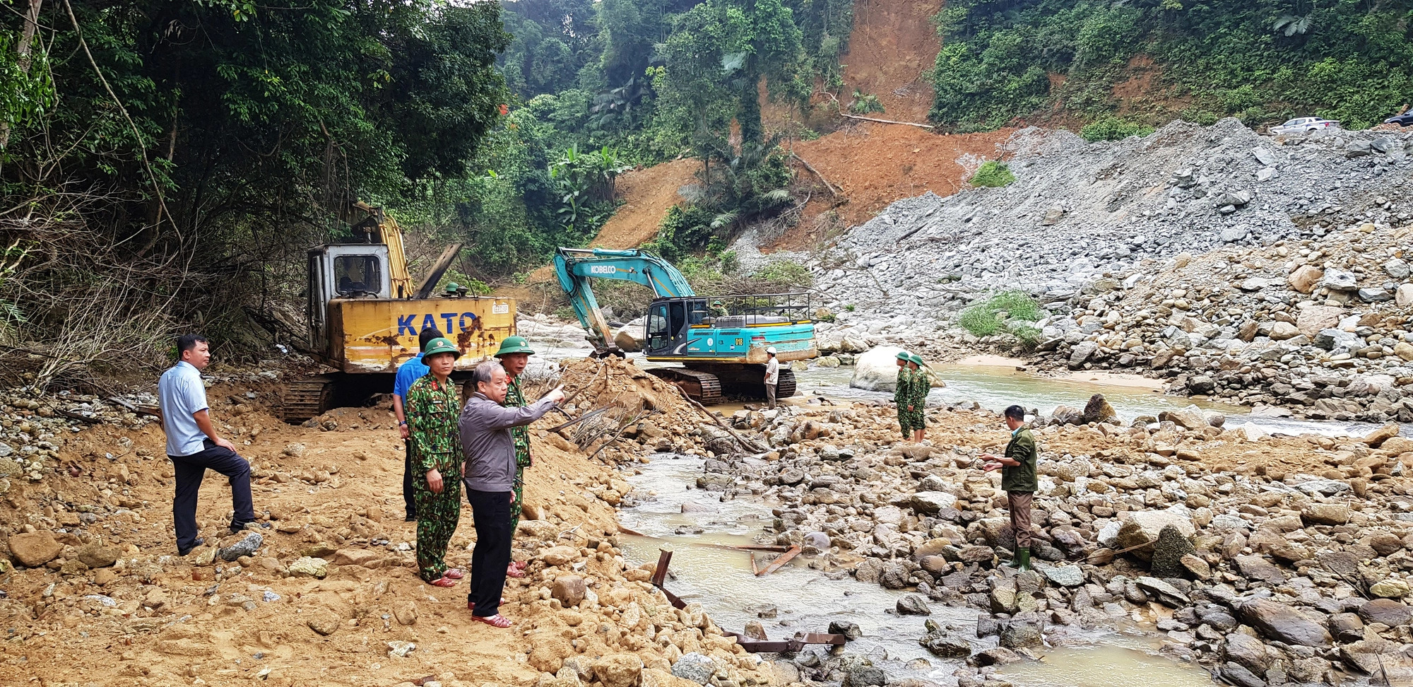
Thua Thien Hue Province in central Vietnam is considering ordering a scientific review of landslide hazard mapping to better serve forecasting and warning tasks.
This topic was put forward by the provincial Department of Natural Resources and Environment in 2020, following tragic landslides near the Rao Trang hydropower plant area in the province’s Phong Dien District in October the same year.
The Department of Science and Technology said on Monday that its scientific council reviewed this topic twice and would submit a report on it to the provincial administration for consideration and approval.
Within the scope of this issue, landslide-prone locations would be taken into account, while a map would be created to assess landslide risks and improve the early warning of this natural disaster across Thua Thien-Hue.
The province has only one research project on landslides along a road leading to hydropower plants upstream of the Rao Trang River, said Dang Van Hoa, office chief of the provincial steering committee for natural disaster prevention and control.
The research was carried out over 15 years ago but the province still uses information from it to warn of possible landslides in the mountainous areas of Phong Dien and A Luoi Districts.
In October 2020, 13 soldiers and officials were killed in a midnight landslide when they were taking a rest at a local forest protection station during their journey to the site of another landslip, which left 17 workers at the Rao Trang 3 hydropower plant missing.
Seven search operations were conducted in more than eight months to look for the missing workers.
The seventh search operation wrapped up in July 2021, with 11 workers remaining missing.
Like us on Facebook or follow us on Twitter to get the latest news about Vietnam!


