Unseasonal rain expected in Ho Chi Minh City over next 3 days
Tuesday, February 11, 2025, 12:24 GMT+7

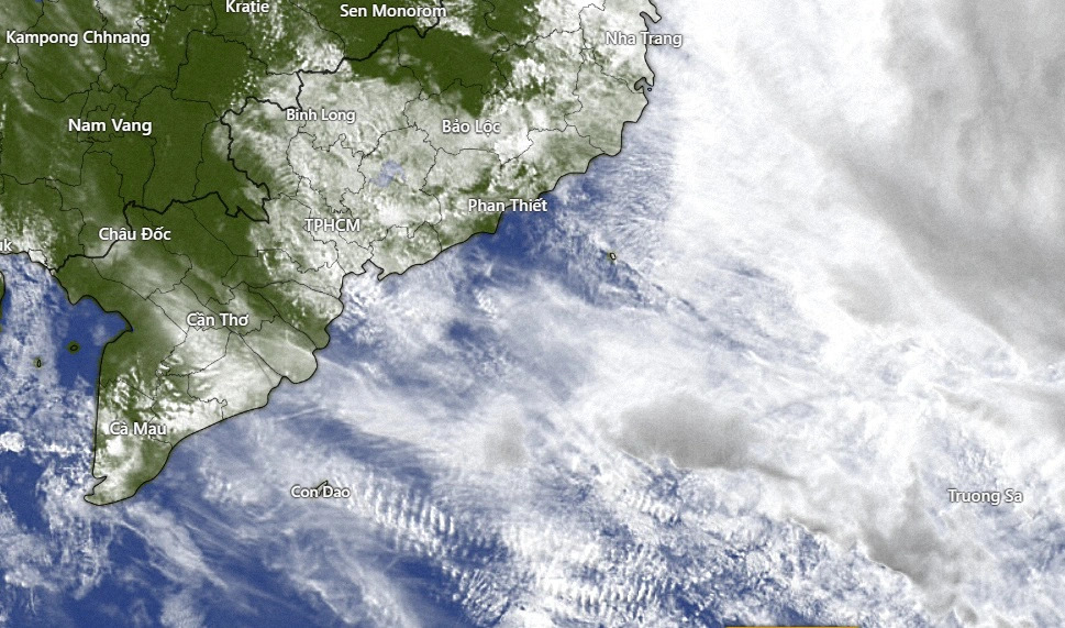
Residents in Ho Chi Minh City and other southern Vietnamese provinces should prepare for unseasonal showers in the late afternoons over the next three days, as a low-pressure trough influences the region’s weather patterns, according to the southern hydrometeorological agency.
An equatorial low-pressure trough is forecast to develop over the southern seas from Tuesday night to Friday.
Some areas may experience light morning fog, but the afternoons will still be dry and hot before the rain showers arrive in the evenings.
The low-pressure system will also create rough conditions at sea, particularly in the waters from Ba Ria-Vung Tau Province to Ca Mau Province.
Strong northeast winds at 39-61kph will generate waves of 2-3.5m, causing choppy seas and potentially hazardous maritime conditions.
From Friday onward, the low-pressure trough will weaken and shift southward, allowing hot and dry conditions to return to the southern region.
While occasional showers will persist in some areas, daytime temperatures will remain high, and low humidity will increase the risk of fires and explosions.
The regional weather agency added that during mid to late February, cold air masses from the north will continue to weaken, leading to gradual increases in temperature across southern Vietnam.
This warming trend is expected to bring occasional heatwaves, with daily highs exceeding 35 degrees Celsius in some areas.
Meanwhile, northeast winds over coastal waters will also gradually weaken.
Like us on Facebook or follow us on X to get the latest news about Vietnam!

Vietnam is proud to have Singapore as a comprehensive strategic partner

The inspection team decided to continue monitoring the two foreigners to have prompt solutions
1 day ago
717 of them had officially submitted resignation requests
11 hours ago
Due to his financial difficulty, he devised a plan to steal from others in order to obtain money for his needs
1 day ago
Inspectors pinpointed several violations in aircraft operations and maintenance at the air carrier
14 hours ago
He was accused of accommodating a company as it illegally mined rare earths for sale to China
1 day ago
Passengers are urged to respect metro regulations, avoid tampering with equipment, and seek assistance from staff when needed


Passengers are urged to respect metro regulations, avoid tampering with equipment, and seek assistance from staff when needed

The country's rice consumption has more than halved over the past 60 years as diets have expanded to include more bread, noodles and other energy sources

Vietnam will review tax policies with other countries, particularly those with strategic or comprehensive strategic partnerships

The two second-grade students in Tra Don Commune under Nam Tra My District died after several days of high fever and diarrhoea, and receiving self-treatment at home

President Donald Trump has frozen US contributions to the global pot and withdrawn from a funding deal to help developing nations transition to clean energy, among other climate initiatives

Others identified by the researchers included Australian marsupials, South American shrimp, Asian ants, as well as salmon, moles, earthworms and freshwater insects

During his ongoing official visit to Singapore, Vietnamese Party General Secretary To Lam held separate meetings on Tuesday with representatives of major Singaporean businesses

This setting aims to preserve and promote the city’s urban heritage while serving as a hub for film production and cultural tourism

This investment falls within AIIB’s plan to invest in the private sector
Tran Ba Duong, chairman of automaker Thaco, dropped off in the March 11 update


