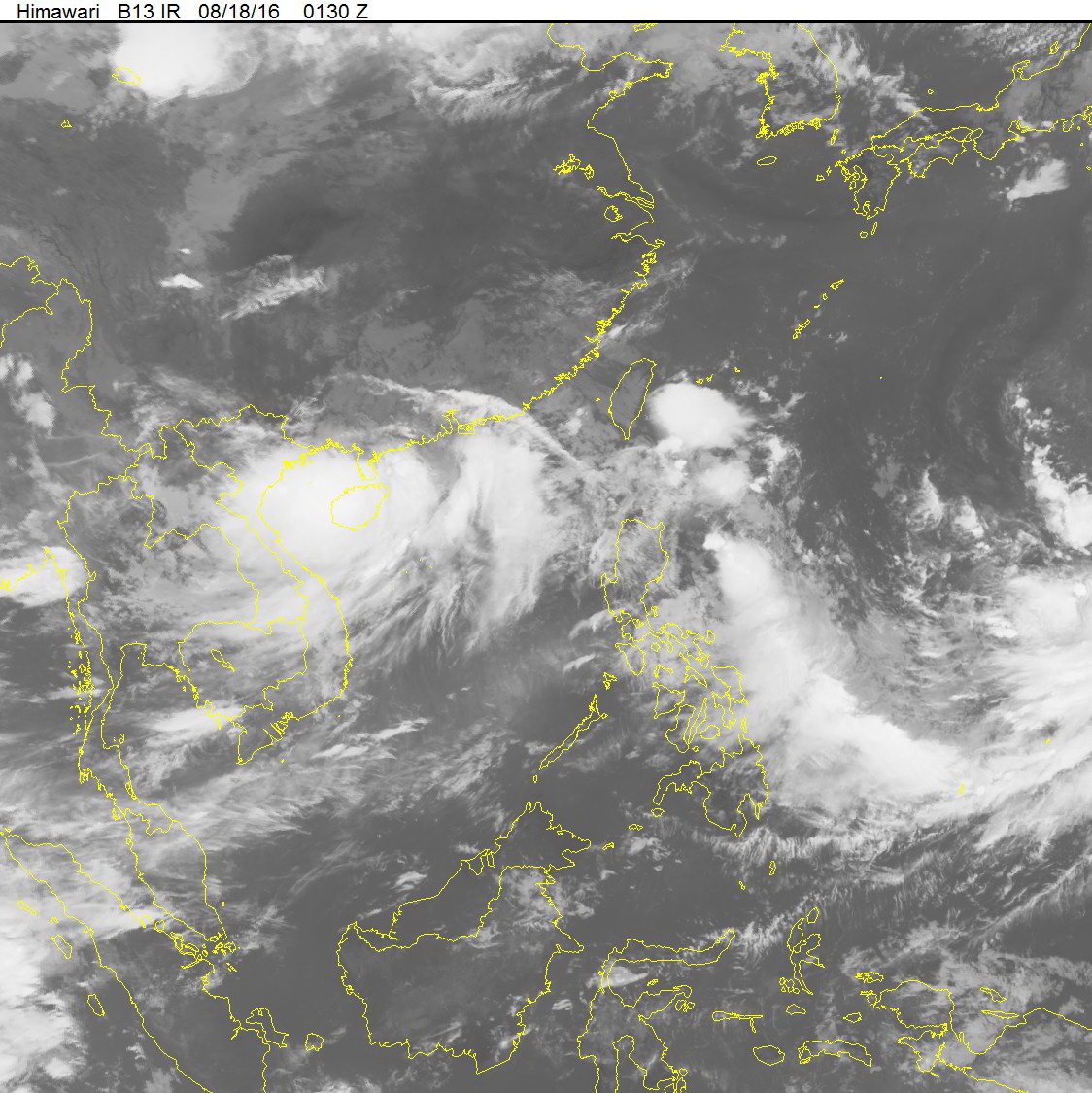
Tropical Storm Dianmu is likely to gain more strength before tormenting Vietnam’s northern region later this week.
At 4:00 am on Thursday, Tropical Storm Dianmu was roaring through the maritime area southwest of China’s Guangdong Province with wind speeds between 60 and 75 kph, according to the National Center for Hydro-Meteorological Forecasting.
Traveling westward at 10-15kph, Dianmu is expected to enter the northern waters of the Gulf of Tonkin by 4:00 am on Friday. Winds are expected to be at 9-10 on the Beaufort scale with a high chance of increased intensity.
The storm is forecast to make landfall in northern Vietnam near Thai Binh Province at 4:00 pm on Friday, with maximum sustained winds ranging from 90 to 120 kph.

The expected path of the tempest. Photo: Nat’l Center for Hydro-Meteorological Forecasting
With a large wind field radius at 200km, the cyclone is anticipated to significantly impact northern and north-central regions, the NCHMF forecast.
Severe downpours and lashing squalls are expected in many towns and cities, with rainwater at 200-300 millimeters, while some locales will experience over 500 millimeters of rain.
Deluges are predicted at river systems in northern and north-central deltas whereas flash floods and landslides are imminent in mountainous regions.
Nguyen Xuan Cuong, head of the Department of Natural Disaster Prevention and Control, urged local authorities on Thursday to enact preventive measures and provide updated information, as well as offering immediate support to the locals encountering trouble.
Like us on Facebook or follow us on Twitter to get the latest news about Vietnam!


