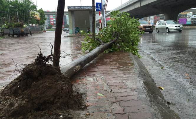
A tropical depression occurring in the Hoang Sa (Paracel) archipelago in the East Vietnam Sea early on Saturday is likely to develop into a storm, affecting Vietnam’s north and north-central regions.
The low-pressure system, packing winds of up to 60kph, is moving north-west at 10-15kph, according to the National Center for Hydro-Meteorological Forecasting.
By Sunday morning, the tropical depression is forecast to be reach the area south of the Chinese island of Hainan, before continuing to move west-northwest at 15-20kph to the Gulf of Tonkin, where it will potentially form a storm.
As of Sunday night, the storm is expected to be some 190km southeast of the Hai Phong – Nghe An coasts, packing winds of up to 75kph, threatening operations of ships in the area.
Once strengthening into a storm, the eye wall may bring heavy rains to the entire northern region and the north-central areas, with Thanh Hoa, Nghe An and several northern mountainous provinces most affected.
Provinces from Ninh Binh in the northern area to Khanh Hoa in south-central Vietnam have been tasked with closely monitoring the tropical depression development and have anti-flood measures in place.
The Vietnamese National Center for Hydro-Meteorological Forecasting predicted in April that 13 to 15 storms or tropical depressions will be seen in the East Vietnam Sea in 2017. The country has seen only one storm so far this year.
Like us on Facebook or follow us on Twitter to get the latest news about Vietnam!


