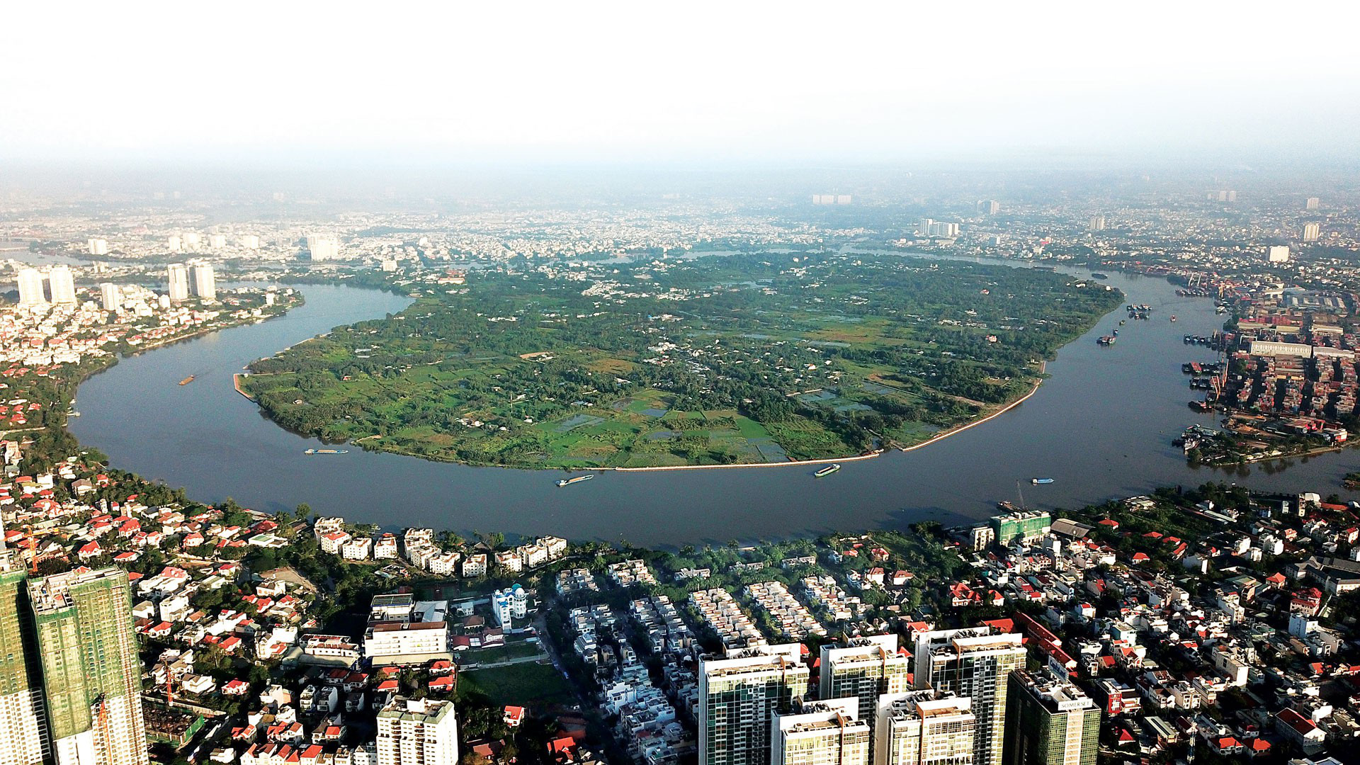
A research group has proposed the transformation of the Binh Quoi-Thanh Da peninsula in Ho Chi Minh City into an ecological park with minimal concrete infrastructure, in contrast to the longstanding policy of urban development.
The consulting joint venture between the Association of Vietnamese Scientists and Experts (AVSE Global) and the Institut Paris Région (IPR) presented the aforementioned proposal during a conference on spatial and functional development along the Saigon River corridor.
The Ho Chi Minh City Department of Planning and Architecture held the event on Saturday afternoon, drawing insights from France’s economic development with the Seine River.
Accordingly, the Saigon River corridor, stretching from the northern Cu Chi District to the southern Can Gio District where it meets the sea, will be divided into four sections.
The primary objective is the creation of parks and green spaces to safeguard the ecological landscape and enhance the well-being of residents and visitors, shielding them from environmental and climatic hazards.
The plan further aims to provide city dwellers and tourists with enriching experiences, improving their quality of life, and fostering cultural interactions along the river.
Within each divided area, as recommended by the consulting consortium, space will be designated for cultural exchange activities and large-scale events, attracting both domestic and international tourists to Ho Chi Minh City.
These areas will also lay the groundwork for the establishment of expansive exhibition centers.
|
|
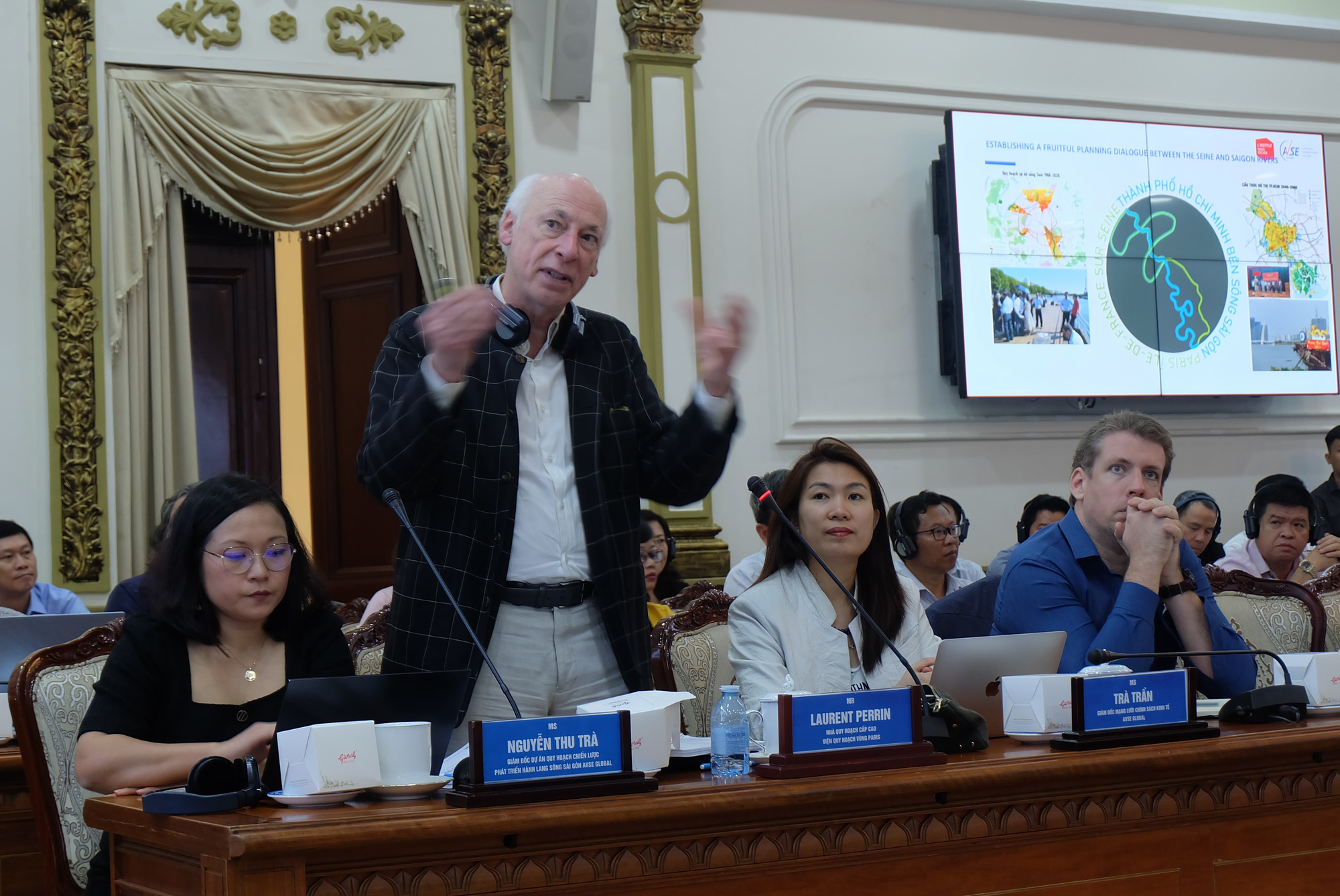
| Laurent Perrin, senior planner from the Institut Paris Région in France, presents research findings on the Saigon River's development at a conference in Ho Chi Minh City, March 2, 2024. Photo: Tien Long / Tuoi Tre |
Notably, in the Binh Quoi - Thanh Da peninsula, the plan emphasizes the creation of a natural ecological habitat, meticulously designed to honor and preserve the area’s geological and geomorphological features.
Consequently, the peninsula will be maintained in its current state, allowing for the unhindered flow of water from the Saigon River and minimizing surface disruption or concrete construction.
In the future, as the peninsula naturally submerges in some areas, the city will implement infrastructure such as cable cars and pedestrian bridges to facilitate connectivity with the surrounding areas.
In the stretch from Cu Chi District to the Ho Chi Minh City-Tay Ninh Province border, the team prioritizes expansive parks and high-tech agriculture to curb urban expansion.
Within the area from the city's railway bridge to Thu Dau Mot Bridge connected to Binh Duong Province, the research team proposes establishing an agricultural development zone, featuring orchards and gardens.
Along the riverbanks from the city's central area to Can Gio District, planning concepts will focus on revitalization, fostering innovation and creativity hubs.
Given the diverse characteristics of the river corridor in this section, the research team has segmented it into four sub-areas to facilitate tailored development plans.
This includes the establishment of floating parks featuring floating islands and gardens, alongside the introduction of additional services and pedestrian bridges to link the riverbanks of District 1 and Thu Duc City.
Furthermore, it entails transforming the river corridor in District 4 into a multifaceted hub for culture, entertainment, and creativity.
Like us on Facebook or follow us on Twitter to get the latest news about Vietnam!


